Yangon City Map Information System OneMap YCDC is being implemented, according to the Yangon City Development Committee.
“As the Urban Planning Department, which is leading the implementation of OneMap YCDC, the maps from the Yangon Map Project are being conducted with the Japan International Cooperation Agency (JICA).
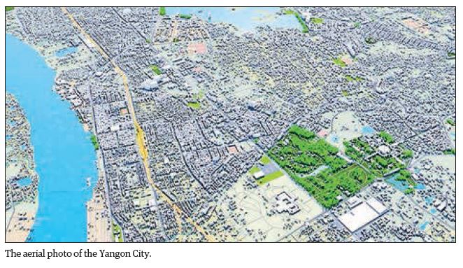
The work process is being undertaken with the use of aerial photos taken by the committee and LiDAR maps in cooperation with the World Bank. In so doing, ArcGIS, produced by Esri, was purchased by Esri Myanmar for geographic information technology (GIS) software. Necessary extensions of ArcGIS Enterprise Software are also purchased and used for the work process of relevant departments.
The software is being applied for inspection of land information from Urban Land Management Department and Urban Planning Department, ground measurement, linking maps, entering and searching information on suitable land for projects.
Measuring the elevation models of Engineering Department (Building), Department of Engineering (Water Management), Department of Engineering (Water and Sanitation), Urban Land Management Department and the Urban Planning Department are being underway with the use of ArcGIS 3D Analyst Extension.
Analyzing the condition of the underground aquifers, studying the effects of soil conditions on public health, and calculating the water flow of rivers and creeks under contour lines are also implemented. The Department of Urban Land Management and the Department of Urban Planning are implementing the integration of maps and aerial photographs with the use of ArcGIS Image Analyst. Applying the ArcGIS Geo-statistical Analyst, relevant departments analyze the water and soil conditions to be able to achieve better results.
All the departments that will use ArcGIS Software with ArcGIS Publisher will be able to share maps and information made with ArcGIS technology. Using ArcGIS Network Analyst, the Department of Engineering (Roads and Bridges) and the Urban Planning Department reviewed the state of public transportation routes on the map and designed better public transportation routes while solving traffic congestion.
Since post-independence era, Myanmar’s biggest reform has been the development and change of Yangon, but it has not been systematically developed. Due to the internal peace restoration and various changes in the governance systems, it is necessary to implement OneMap YCDC to achieve systematic and sustainable development, said YCDC member Dr Zaw Win.
As an e-Government work committee is cooperating in technological measures for the Web Map Server and the information technology branch gives services for other departments, said U Nyan Lin Soe, head of office of the e-Government work committee of YCDC.—TWA/GNLM


